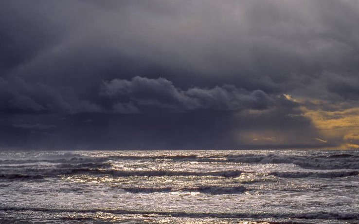
Fall is just around the corner and so is the rainy and storm season and according to the National Weather Service, it looks to be an El Nino kind of winter this year...so what exactly does that mean?
Well for starters, El Niño is when sea surface temperatures in the Eastern Pacific Ocean tropical waters, the waters west of Peru, are warmer than average. The warming of these waters usually results in the North Pacific storm track spending quite a bit of time across the southern tier of the U.S., from California to the Gulf Coast and the Southeast.
La Niña is when those same tropical Pacific waters are cooler than average, resulting in the storm track spending more time in the Pacific Northwest latitudes.
El Niño winters tend to be warmer than average. Historically, when compared to La Niña and ‘Neutral’ (around average tropical Eastern Pacific sea surface temperatures) winters, El Niño ranks last for significant lowland snow, wind storms and flooding. Even though the odds of these nasty storms are lower, they do and have occurred.
t is quite possible these wet storms could dump more rain and result in more significant flooding than in the past. This issue has been the case not only across the country in recent years but also around the world.
The lowland snow season typically starts in mid-November and extends into March. Snow not only disrupts transportation but often results in power outages as well. There are some El Niño winters that result in no lowland snow. Yet, of the top ten snowiest winters in the Puget Sound region, three were during El Niño winters.
Are you ready for these hazards or perhaps an earthquake, too? Now is the time to prepare.
For helpful tips and checklists for your home, car, pets and more, go to ready.gov or the CDC Winter Preparedness website. One key item for your home, business, school, health care facility, or place of worship is an NOAA Weather Radio All-Hazards, a lifesaver for the price of a pair of shoes.


